
Civil Engineering & Construction
Pre-design topographic analysis, construction progress monitoring, and as-built documentation. Deliverables integrate with AutoCAD Civil 3D, Revit, and BIM workflows.
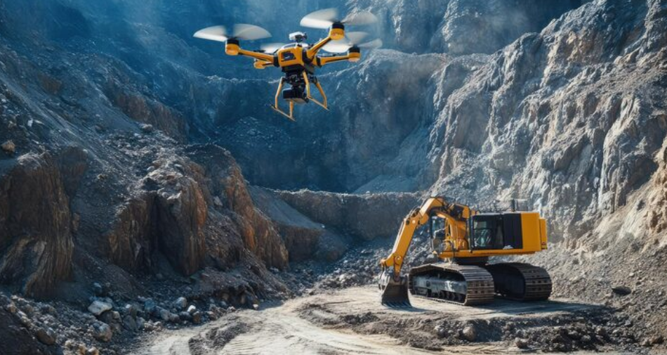
Mining & Quarrying
Drone-based mapping of building stone, granite, laterite, sandstone extraction areas — cut-and-fill volumes, stockpile estimates, and 3D terrain data far faster than ground survey.
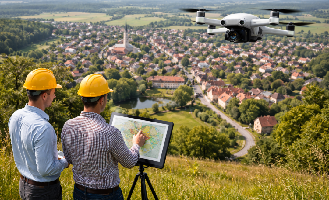
Urban Planning & Village Mapping
City-scale aerial surveys for encroachment detection, property tax assessment, road corridor monitoring, and JJM village mapping across Karnataka.
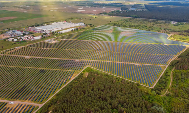
Solar Energy & Renewables
Thermal Inspection for solar farm site selection of installed PV arrays, Powerline Inspections.
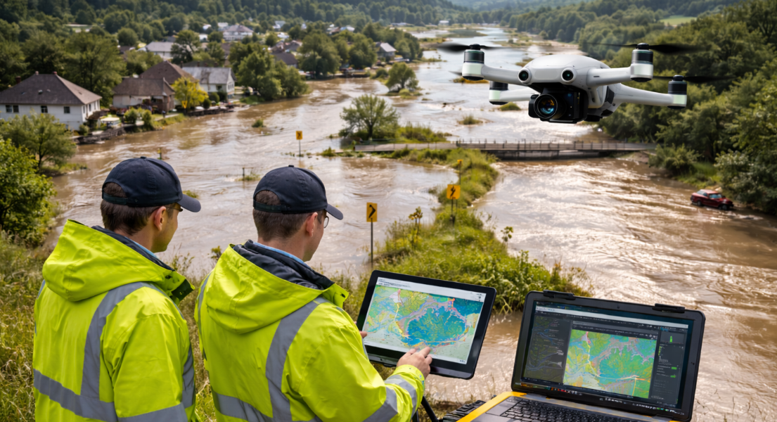
Hydrology & Flood Analysis
LiDAR-derived terrain models for catchment area delineation, flood inundation modelling, drainage network mapping, and water body extent analysis.
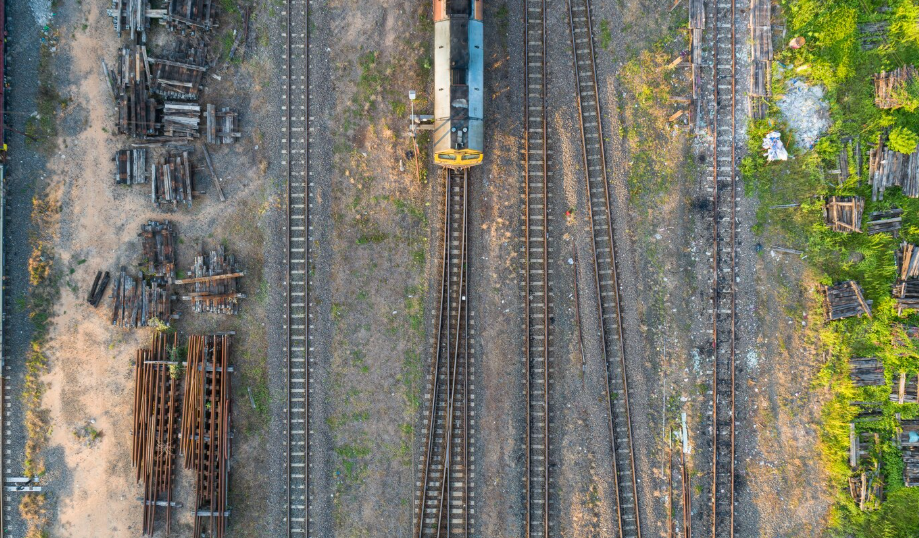
Railway & NHAI Infrastructure
Railway corridor LiDAR mapping, NHAI highway survey, load profile monitoring, and video monitoring for construction progress documentation.
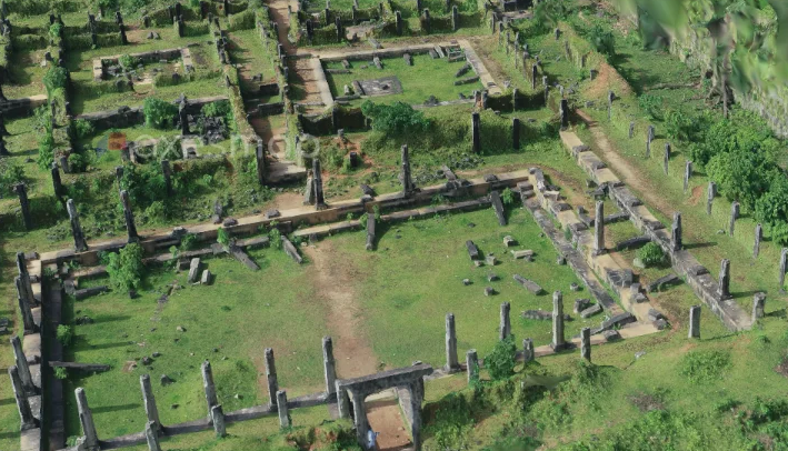
Heritage & Archaeology
Non-invasive 3D documentation of archaeological excavations, historical monuments, and heritage structures through close-range photogrammetry.

Research & Academia
Precision geospatial data for environmental, geological, urban, and agricultural studies with custom flight plans and research-grade accuracy.
Don't See Your Sector?
We deliver customised drone solutions for any application. If you have a spatial data challenge, talk to us.
Discuss Your Project