Building Stone Quarry Mapping — Volume Estimation & Progress Tracking
Axesmap has mapped multiple building stone quarry sites across Karnataka — including granite, laterite, and other building materials. Monthly repeat surveys allow operators to track extraction rates against production targets.

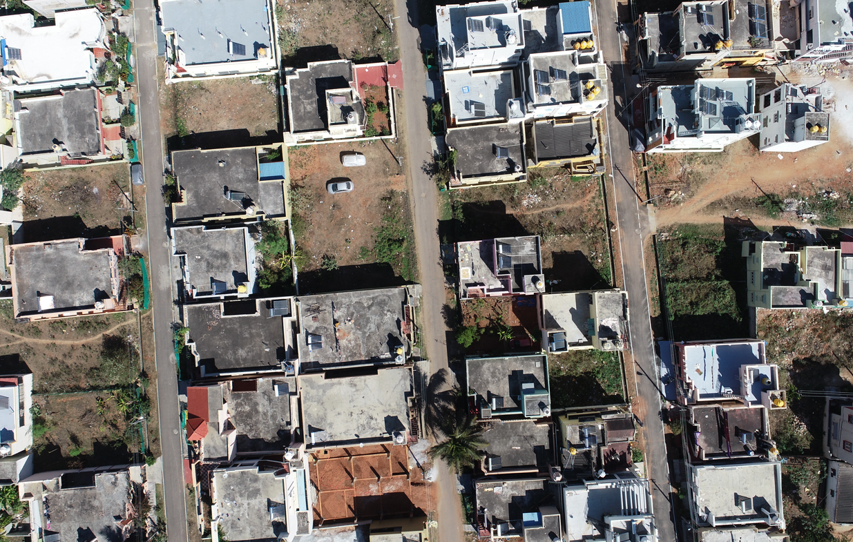
Urban Area & JJM Village Mapping — Karnataka
Aerial survey work for urban planning bodies including BBMP and BDA, and the Jal Jeevan Mission village mapping programme — supporting rural water infrastructure planning across Karnataka.
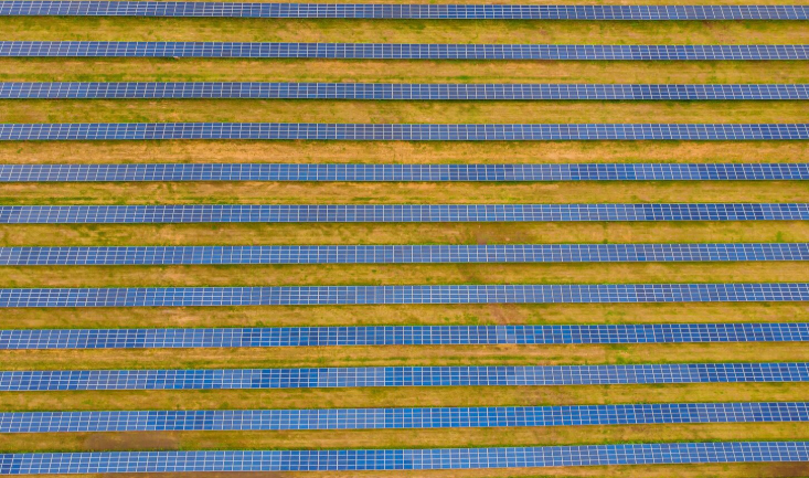
Solar Farm Thermal Inspection & Site Survey
Thermal drone inspection of solar PV arrays using dual-sensor platform. Panel-level anomaly detection identifies hot spots, bypass diode failures, and soiling patterns.
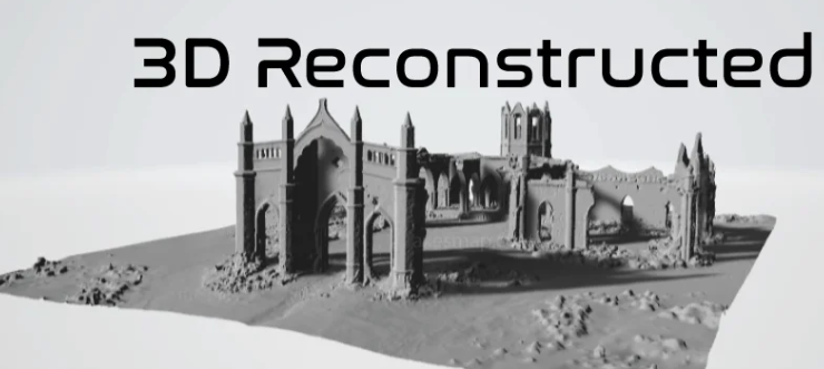
Archaeological Site 3D Documentation — Digital Heritage Programme
Close-range photogrammetric 3D documentation of excavations and monuments. Georeferenced 3D models with 4K texture maps for conservation planning and academic publication.
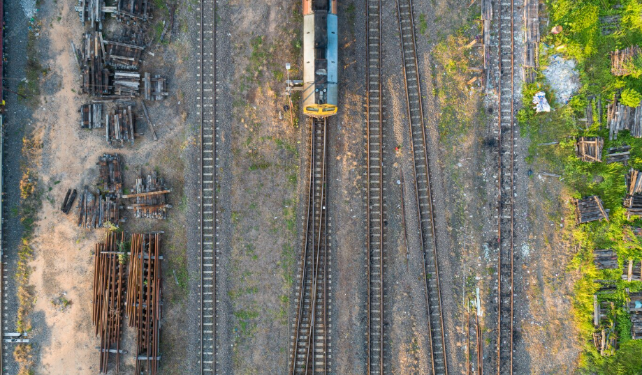
Railway Corridor LiDAR Mapping & Load Profile Monitoring
High-density 3D point cloud mapping of railway corridors. Load profile monitoring of loaded wagons — capturing clearance envelopes and load profiles of rolling stock in motion.
We have 100+ examples like this.
Let's Build Something Together
Whatever your terrain, sector, or data challenge — Axesmap has the sensors, the team, and the experience to deliver.
Request a Proposal